Hiking · Nature
3-Lakes Hike to the Kaltenbach Lakes (Sölktäler Nature Park)
approx. 3:00 h – 4.7 km – ↑510–520 m · moderate · ideal for 1–8 people, family-friendly · Free32 km
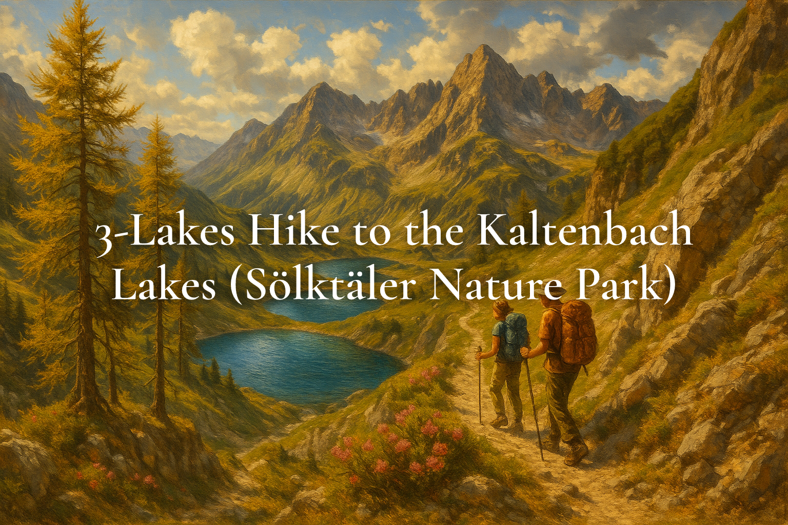
The 3-lakes hike to the Kaltenbachseen is a gem for lovers of clear alpine waters. Starting at the small parking area at Kaltenbachkehre, the path climbs in gentle switchbacks to the Lower Kaltenbach Lake, then over open alpine slopes to the Middle and finally the Upper Lake. Expect larch trees, rock slabs and flower meadows; in June/July the alpine roses light up the hillsides. With about 4.7 km, the route is short yet scenic and can be extended towards the Etrachboden or even to Mt. Deneck for strong hikers. A perfect choice for families, couples and anyone seeking peaceful shores.
Route & difficulty
Start at Kaltenbachkehre (about 1,610 m). A narrow trail crosses the stream and leads to the Lower Lake. Above the treeline, the path traverses grassy terraces to the Middle and Upper Lakes (high point around 2,070 m). Waymarking is good; short steeper sections require sure-footedness. Ascent time is roughly 1:45–2:00 h, total around 3:00 h. If you have extra energy, continue into the cirque above or return on a gentle loop back to the trailhead.
Scenery & highlights
All three Kaltenbach lakes offer mirror-like waters, quiet banks and fine picnic spots. In early summer, alpine roses and gentian bloom; later the larches turn golden. Between the Lower and Middle Lakes, views open towards the Etrachboden and peaks of the Schladming Tauern. With a bit of luck you might spot marmots or chamois on the boulder fields. On warm days, the shallow shores are perfect for a quick cool-down.
Best season, safety & services
The Sölk Pass road is open only in snow-free months (usually late May/June to October). Pick a stable-weather day and start early; parking is limited. Wear sturdy footwear and carry sun/rain protection, sufficient water and snacks. Turn back early if thunderstorms threaten; above the treeline you are exposed. In summer holidays, a seasonal valley bus connects Stein/Enns with the pass – check the current timetable.
Food stops & extensions
After the hike, rustic huts such as Kaltenbachalm, Winkleralm, Mautneralm or Hansenalm offer hearty Styrian dishes (seasonal opening). Ambitious hikers can extend the lake tour into a summit trip via Etrachboden and Schafspitze to Mt. Deneck (2,433 m; for experienced hikers only). Families can simply linger by the lakes and enjoy relaxed shore-time before returning to the trailhead.
- Three idyllic alpine lakes
- Wide views of the Schladming Tauern
- Alpine rose bloom in early summer
- Easy access via the seasonal Sölk Pass road
Tip: Arrive early for parking at Kaltenbachkehre and bring a towel and snacks – a refreshing dip is tempting on warm days.
Getting there: From Schladming center via B320 to Pruggern, then to Stein an der Enns and up towards Sölk Pass. Park at the 2nd hairpin (Kaltenbachkehre) after ~24–25 km. Driving time ~45–55 min.
Price: Free hike; parking along the Sölk Pass road is usually free. Sölk Pass road closed in winter. As of: October 2026
Last updated: October 17, 2026
AI notice: This article and its featured image were created with the help of artificial intelligence and reviewed editorially. For binding details (prices, opening hours), please refer to the respective provider.
route.
32 kmas the crow flies from winter.gartenTour on bergfex ↗Google Maps ↗
frequently asked questions.
Who is this hike suitable for?
Sure-footed families, couples and solo hikers with basic fitness. Children should have some mountain-trail experience; short steeper parts occur.
When is the best time to go?
Late spring to autumn, as long as the Sölk Pass road is open (usually late May/June to October). Alpine roses often bloom in June/July.
Is public transport available?
In summer holidays a seasonal valley bus runs from Stein/Enns towards the Sölk Pass (period varies). Always check the timetable in advance.
Can I swim?
The lakes are very cold, but shallow shores invite a brief dip or a refreshing footbath. Please respect nature and avoid soaps.
What gear do I need?
Sturdy hiking shoes, weather and sun protection, enough water and snacks. Turn back early if weather deteriorates.
Is the path stroller-friendly?
No. It is an alpine trail with roots and rocky steps.