Hiking · Nature · Sports
Reiteralm Alpine Loop – via Gasselhöhe & Rippetegg
3–3.5 h (5.3–5.8 km, ↑≈450 m) · moderate · Solo, couples, families with older kids (approx. 6–8+), groups · from 0 €7,7 km
The Reiteralm Alpine Loop is one of Schladming-Dachstein’s finest viewpoints: starting near the Preunegg Jet top station, the signed route climbs over Gasselhöhe to Rippetegg, then returns via the picturesque Gassel lakes including the famous Spiegelsee. With roughly 5.3–5.8 km, about 450 vertical meters and mostly easy terrain, it’s a rewarding intermediate hike for active travelers and mountain-loving families. ([schladming-dachstein.at](https://www.schladming-dachstein.at/de/aktivitaeten/touren/Reiteralm-H-C3-B6hen-Rundweg_tour_6196?utm_source=openai))
Route & difficulty
From the Gasselhöhe Hütte, follow high trail no. 66 over the ‘Hahn’l’ to the Gasselhöhe summit (2,001 m). Continue along the airy ridge with gentle ups and downs to Rippetegg (2,126 m). The descent leads more steeply to the Upper Gassel Lake and the photogenic Spiegelsee, before a gentle return to the start. Total: approx. 5.3–5.8 km, 3–3.5 hours, ~450 m ascent, grade: intermediate. ([schladming-dachstein.at](https://www.schladming-dachstein.at/de/aktivitaeten/touren/Reiteralm-H-C3-B6hen-Rundweg_tour_6196?utm_source=openai))
Start points & options
The easiest start is via the Preunegg Jet (top station a few minutes from Gasselhöhe Hütte). Alternatively drive the toll road to the car park by the Reiteralm/Gasselhöhe huts. Strong hikers can extend to Schober; families may prefer shorter variants around Reiteralmsee. ([reiteralm.at](https://www.reiteralm.at/de/tickets-und-preise/preise-sommer/berg-und-talfahrt))
Views & photo spots
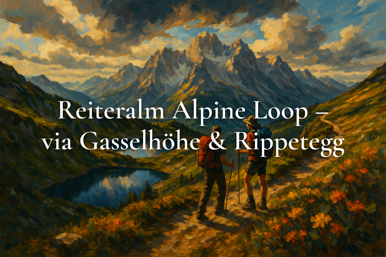
Expect continuous panoramas: the Dachstein south walls dominate the skyline, while the Schladminger Tauern stretch to the south. Spiegelsee is a prime photo stop—on calm mornings the Dachstein reflects perfectly. Best light: early morning or late afternoon.
Safety & nature
Surefootedness helps on the ridge and during the steeper lake descent. Wear sturdy shoes and carry layers, sun protection and water. Please stay on paths and do not bathe in Spiegelsee to protect the sensitive alpine ecosystem. Watch for afternoon storms and shorten the loop if needed. ([reiteralm.at](https://www.reiteralm.at/de/aktivitaeten/wandern/alle-wanderungen/wanderung-zum-spiegelsee?utm_source=openai))
- Ridge trail over Gasselhöhe (2,001 m) & Rippetegg (2,126 m)
- Dachstein panorama and 360° vistas
- Descent via Upper Gassel Lake & Spiegelsee
- Easy access by Preunegg Jet gondola
Tip: Start early for calm water at Spiegelsee and the best reflections. The Schladming-Dachstein Sommercard includes a free round trip on Preunegg Jet.
Getting there: From Schladming center drive to Pichl and up the Preunegg valley to the Preunegg Jet base (≈15 min), then by gondola to the top. Alternatively, use the Reiteralm toll road to the car park by Gasselhöhe/Reiteralm huts. Start: Gasselhöhe Hütte (47.35954, 13.59435). ([reiteralm.at](https://www.reiteralm.at/de/tickets-und-preise/preise-sommer/mautstrasse))
Price: Hiking is free. Optional: Reiteralm toll road car €18.00 (summer 2026; free with Sommercard). Preunegg Jet return: adult €29.00, child €17.00 (summer 2026). As of August 2026. Source: reiteralm.at. ([reiteralm.at](https://www.reiteralm.at/de/tickets-und-preise/preise-sommer/mautstrasse))
Last updated: August 7, 2026
AI notice: This article and its featured image were created with the help of artificial intelligence and reviewed editorially. For binding details (prices, opening hours), please refer to the respective provider.
route.
7,7 kmas the crow flies from winter.gartenTour on bergfex ↗Google Maps ↗
frequently asked questions.
Who is this hike for?
Active hikers, couples, small groups, and families with mountain-experienced kids around 6–8+. Not suitable for strollers.
What gear do I need?
Ankle-high hiking shoes, wind/rain layer, sun protection, warm layer, water/snacks; trekking poles useful in early summer.
Best season?
May/June to October, ideally on clear, stable weather days for wide views.
How do I get to the start?
Ride the Preunegg Jet to the top station (minutes to Gasselhöhe Hütte) or drive the toll road to the hut car park. ([reiteralm.at](https://www.reiteralm.at/de/tickets-und-preise/preise-sommer/berg-und-talfahrt))
Any costs involved?
The hike is free. Optional: Preunegg Jet return (€29 adult) or toll road (€18 per car; free with Sommercard). As of August 2026. ([reiteralm.at](https://www.reiteralm.at/de/tickets-und-preise/preise-sommer/berg-und-talfahrt))