Hiking · Nature · Sports
Greifenberg & Klafferkessel – Royal Loop from Riesach Waterfall
9–10 h | 21–22 km | ↑↓ ~1,600 m · moderate · from 1 person; ideal as a pair or small group; not for young kids · from 0 €9 km
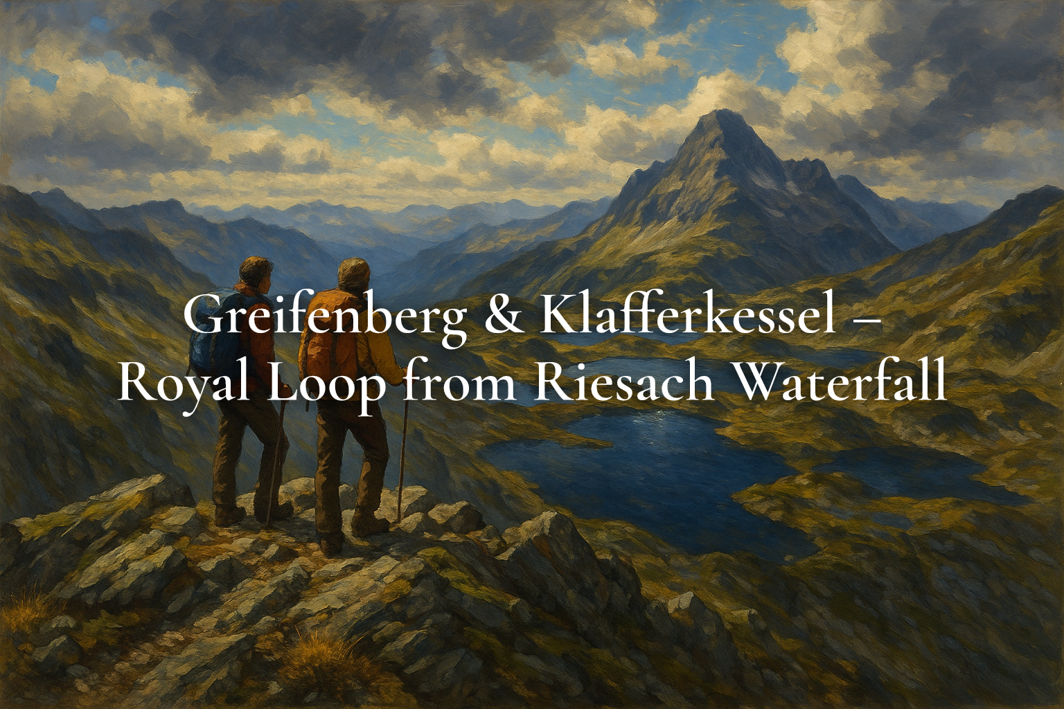
This ‘royal tour’ across the Klafferkessel ranks among the most impressive hikes in the Schladminger Tauern. From the Seeleiten car park at Riesach waterfall you head up-valley to Gollinghütte, then climb steep switchbacks to Greifenberg saddle. From the summit, a sweeping panorama opens up, with Hochgolling to the south and the glittering Klafferkessel lakes below. The descent crosses blocky scree and short secured sections into the Lämmerkar plateau, then back past Riesachsee to the trailhead. Only go in settled weather—length, elevation and terrain demand fitness, surefootedness and an early start.
Route & difficulty
Start at Seeleiten (1,080 m), follow forest road/trail to Gollinghütte (1,642 m), continue in switchbacks to Greifenberg saddle and in minutes to the summit (2,618 m). Descend into the Klafferkessel lake plateau, then over Reislingscharte into Lämmerkar. Return via Preintalerhütte/Waldhornalm and along Riesachsee to the start. Expect 21–22 km and ~1,600 m ascent/descent. Mostly alpine paths with some cables, steep and blocky—strong fitness, surefootedness and a head for heights required.
Safety & gear
Go only in stable summer/autumn weather: thunderstorms, fog or wind quickly turn this long route into a serious undertaking. Bring sturdy boots, poles, warm layers, waterproofs/sun protection, sufficient water and energy snacks. Carry a map/GPX and plan ample time. Dogs: the nearby ‘Höll’ via ferrata-style trail is not suitable; on this route only very surefooted dogs should join due to scree and secured passages.
Huts & logistics
Gollinghütte, Preintalerhütte and Waldhornalm offer food and shelter (seasonal). Almgasthaus Riesachfall sits at the trailhead. Parking at the valley head is managed; in summer, bus line 974 links Schladming with “Riesachfall – Wilde Wasser”. Park only in signed areas and expect parking and a local road fee for Untertal. Hut wardens provide up-to-date info on trail and weather—check opening times in advance.
Best season & nature
Best from July to September when high sections are snow-free. At Greifenberg, Sattelsee ranks among the region’s highest lakes; the Klafferkessel holds dozens of terraced tarns. Respect fragile alpine habitats—stay on paths, keep noise low, and pack out all waste. If weather turns or time runs short, shorten the loop or opt for an overnight hut variant.
- Summit of Greifenberg (2,618 m)
- Klafferkessel lake plateau (~30 tarns)
- Riesach waterfall trailhead
- Sattelsee – the region’s highest lake
Tip: Start very early and use a solid weather window. Consider return variants via Preintalerhütte; the seasonal bus line 974 connects Schladming and “Riesachfall – Wilde Wasser”.
Getting there: From Schladming center take L722 to Rohrmoos, then at the roundabout left onto L723 into Untertal, continuing to ‘Seeleiten’ car park (Riesach waterfall). Or use bus line 974 to “Riesachfall – Wilde Wasser”.
Price: The hike itself is free. Parking at Seeleiten car park about €13/day; additional local road fee for the Untertal approach applies. As of July 2026.
Last updated: July 31, 2026
AI notice: This article and its featured image were created with the help of artificial intelligence and reviewed editorially. For binding details (prices, opening hours), please refer to the respective provider.
route.
9 kmas the crow flies from winter.gartenTour on bergfex ↗Google Maps ↗
frequently asked questions.
Who is this tour for?
Fit, surefooted hikers with alpine experience. Distance, elevation and some secured sections require stamina and a head for heights.
Is it suitable for children?
Only for older, mountain-experienced teens. Consider shorter goals like Riesachsee or Gollinghütte with younger kids.
Are dogs allowed?
In principle yes, but only for very surefooted dogs. The nearby ‘Höll’ trail is not dog-friendly; use the standard ascent on forest roads/paths.
Do I need a map or GPX?
Yes. The route is long and partly complex. Carry a current map/GPX and start early.
When is the best season?
Typically July–September depending on snow. Always check the forecast and hut info.
Are there any fees?
Paid parking at Seeleiten and a local road fee for the Untertal approach apply. As of July 2026.